
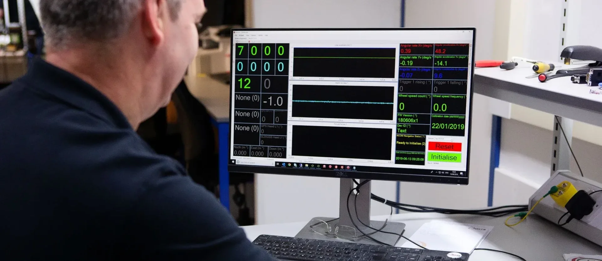
Oxford Technical Solutions specialises in advanced Inertial Navigation Systems and cutting-edge GPS technology designed for accurately measuring motion, position, and orientation across various applications. The RT Family encompasses a comprehensive range of inertial measurement instruments, which are suitable for a wide array of applications in diverse fields. Additionally, we offer several support products that further enhance the accuracy of the RT products and streamline their operation, making them even easier to use for our customers.
GNSS/INS Systems for Accurate Positioning and Motion

RT3000 v4
Our most accurate and precise INS.

WayFinder
WayFinder is ideal for anyone who needs accurate localisation data in challenging environments…

RT1003 v2
An economical blend of performance and value, even in challenging GNSS environments.

xRED
An OEM board set INS delivering centimetre-level accuracy in a tiny form factor.

xNAV650
Robust performance in SWaP-constrained package, featuring ethernet and serial connections.

AV200
Robust performance in SWaP- constrained package, featuring ethernet and CAN interfaces.
INERTIAL NAVIGATION SOFTWARE
Maximise the quality and value of your data
If you’re looking for ways to improve the quality of the data you collect with your inertial navigation system, or need to integrate monitoring and post-processing tools into your existing toolchain, OXTS can help.
Our software applications are designed to give you powerful capabilities while being as easy to use as possible, so you can get on with your work. Our NAVsuite software can be integrated into other applications via a command line interface, so you can improve the capabilities of your toolchain without having to learn another application.
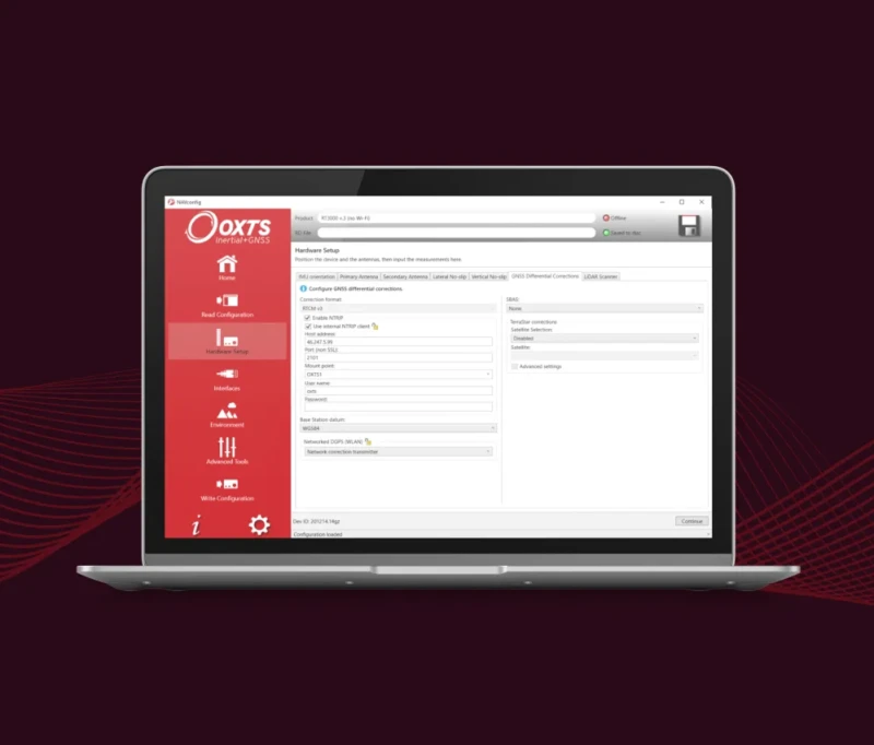
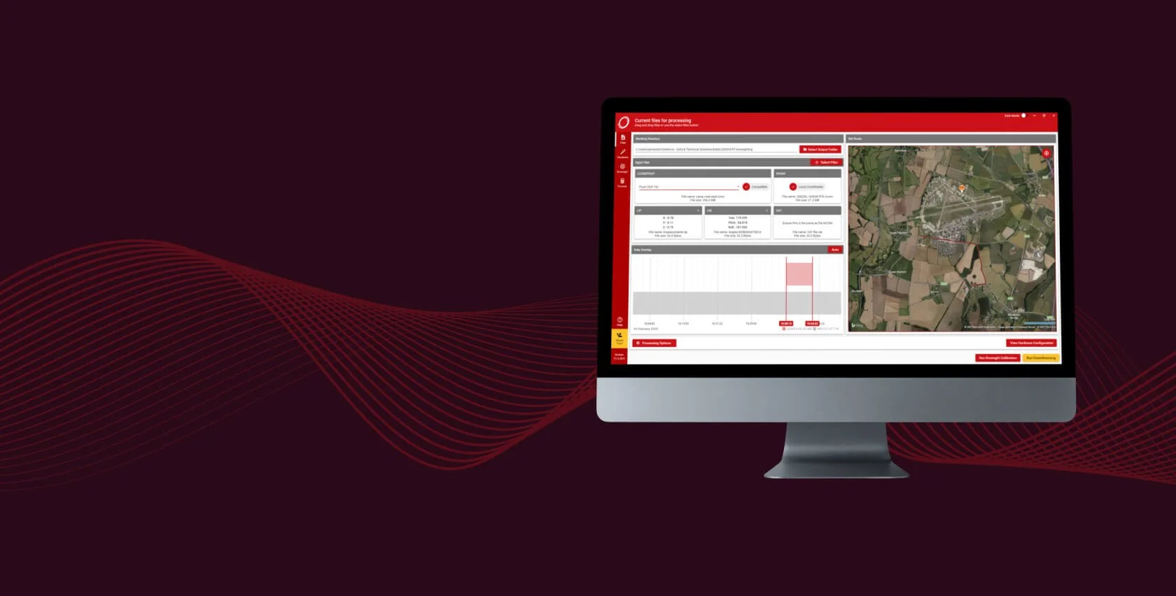
NAVsuite
Configure, monitor, and post-process your data with our free suite of powerful applications.

RT-Range Suite
Specialist ADAS software for real-time V2V and V2L measurements.
OXTS Georeferencer
Create clear and concise point clouds with ease, and improve point cloud clarity with our Boresight Calibration Tool.
INERTIAL NAVIGATION ACCESSORIES
The Right Tools For The Job
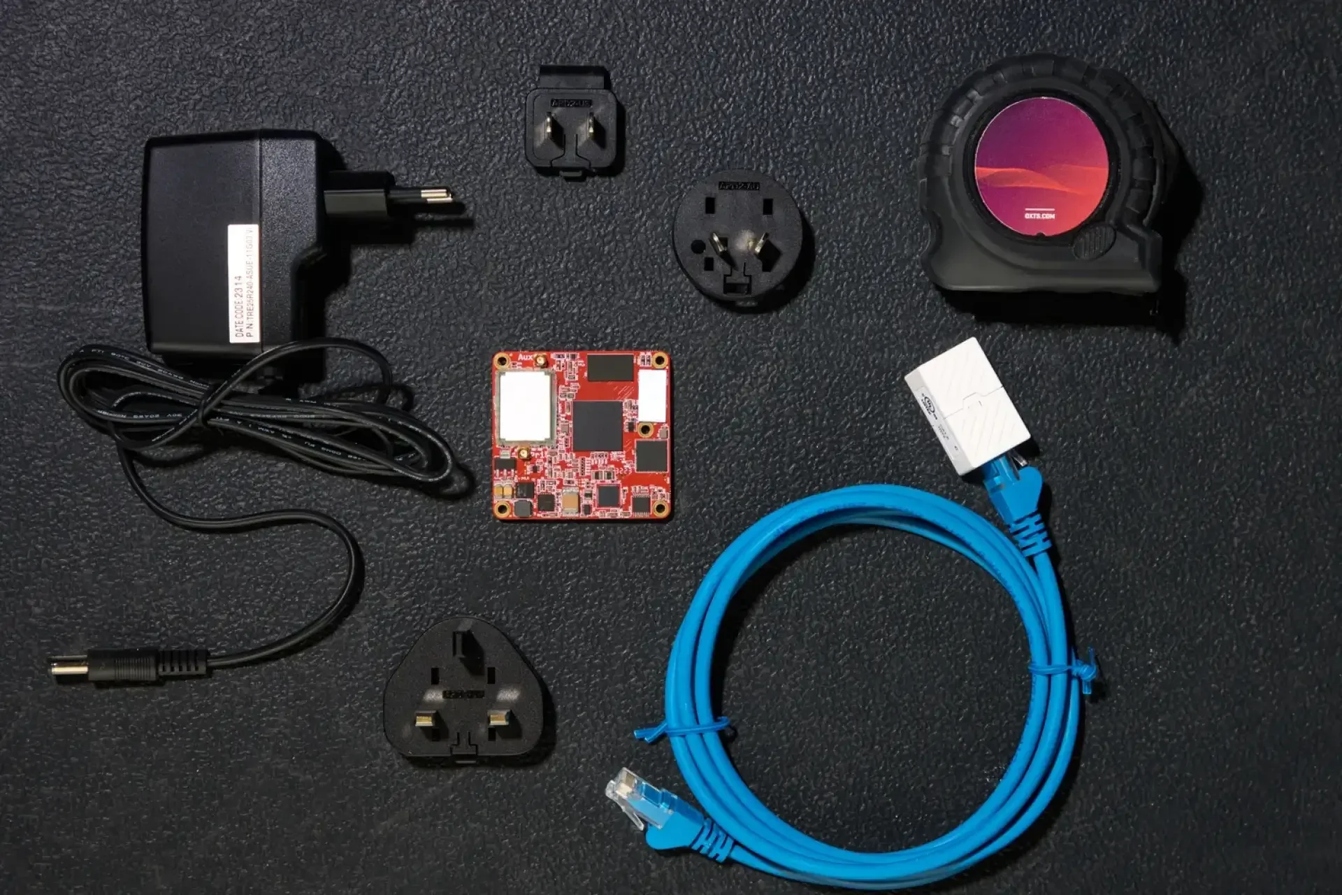
The right accessories make using your inertial navigation system easier and more effective. Check out our range below.
RT-XLAN
High-performance WLAN vehicle-to-vehicle communication over 1km. Essential for ensuring hunter and target vehicles can communicate with each other.
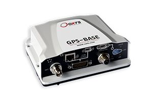
GPS-Base
A base station for transmitting differential corrections to your vehicles, so you can achieve RTK accuracy.

RT-Base S
A mobile base station for differential corrections in a self-contained weatherproof case for added versatility and robustness.

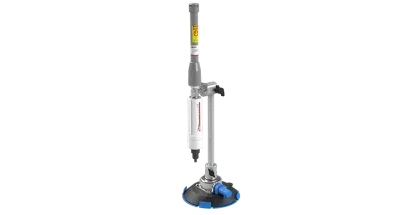
RT-Strut
Correctly mount your GNSS/INS and additional devices in your vehicle in minutes, to ensure that the only movement you record is from the vehicle itself. Plus, an extended length version is available for taller vehicles.

Dual Antenna Roof Mount
Rigid pre-set antenna separation mount for puck or pinwheel antennas ensures maximum heading accuracy, even at low speeds. Can be used on most roof types including glass, aluminium, composite and nonplanar.

Survey Trolley
Easily create scenarios that require accurate lane measurements such as automated lane keep systems. Designed to eliminate multipath errors, and includes software to create straight and curved lane lines for use in the RT-Range Suite.

RT-Backpack
A backpack containing a RT-XLAN and a battery capable of powering that and an INS for 5 hours, the RT-Backpack is designed to track the position of pedestrians, cyclists, and motorcyclists. Just add an INS and you’re ready to go.
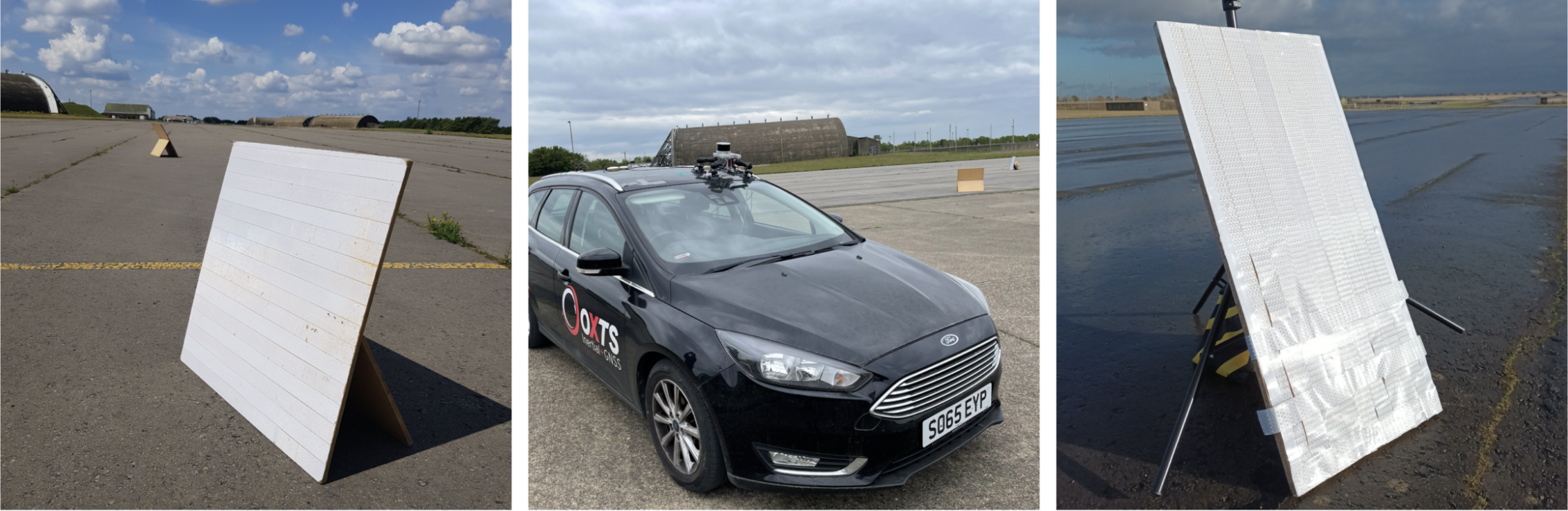
Boresight Calibration Targets
Make boresight calibration quicker and easier with these targets.
Need Help? Let’s Talk!
Have questions or need support? Our team is here to assist you. Reach out now!