
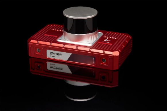
WayFinder - Localise anywhere, straight out of the box
WayFinder is ideal for anyone who needs accurate localisation data in challenging environments, including seamless transitions from open sky to GNSS-denied spaces.
SPECS
0.01m
Position
0.05°
Pitch/Roll
0.05km/h
Velocity
0.03m
GNSS-denied position accuracy
0.05°
Heading
0.02°
Velocity
0.03m
GNSS-denied position accuracy
Why Choose WayFinder?
Highly accurate MEMS INS navigation with or without GNSS
Localisation data you can rely on, even in environments with patchy or no GNSS signal. Seamlessly switch between GNSS and LiDAR aiding to transition between environments.
• Two survey-grade, quad constellation GNSS receivers
• OxTS latest IMU10 inertial measurement unit
• Integrated LiDAR sensor and LiDAR Boost software

Our unique LiDAR Boost technology takes data from WayFinder’s integrated LiDAR scanner to provide accurate localisation data in challenging environments.
LiDAR Boost is a set of advanced algorithms that use data from WayFinder’s integrated LiDAR to compensate for missing or erroneous GNSS updates in real time. It enables high-accuracy localisation in challenging GNSS conditions such as urban canyons, underground environments, or tunnels.
LiDAR Boost for GNSS-denied navigation
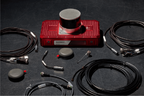
Out of the box navigation
WayFinder contains everything you need to start localising, and can be used as a standalone solution or integrated into a robotic control stack for autonomous navigation
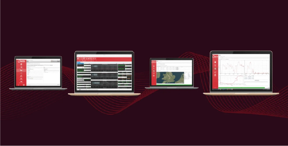
Post-processing tools included
All OXTS GNSS/INS devices include our NAVsuite software for free. NAVsuite gives you powerful post-processing tools for improving the quality of your data. It includes applications to help you accurately configure your navigation system as well as real-time data monitoring and data visualisation tools.
Other Features
OXTS' Latest IMU 10 Technology
Simple and powerful interface
Low dynamics warm up
Fast and easy set-up
ITAR free
Need Help? Let’s Talk!
Have questions or need support? Our team is here to assist you. Reach out now!