Seamless LiDAR & GNSS/INS Alignment for Crystal Clarity
OXTS Georeferencer
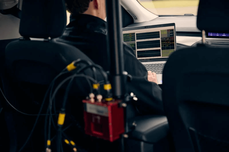
Producing the best quality LiDAR survey data depends on two critical factors: obtaining high-quality localisation data and ensuring the precise calibration of all your sensors. If you are looking to enhance the accuracy and reliability of your survey data, the OXTS Georeferencer is an effective tool that can assist you in achieving these improvements.
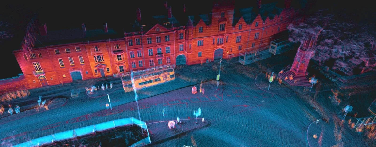
Crystal clear point clouds
Your OXTS GNSS/INS system already produces highly accurate localisation data across a wide variety of challenging environments. The OXTS Georeferencer’s Boresight Calibration tool works to precisely align the coordinate frames of your OXTS GNSS/INS and your LiDAR scanner, effectively eliminating blurring and double vision from your final point cloud results. This process requires just an additional two minutes at the beginning of a survey, after which the tool manages the alignment automatically and efficiently, ensuring optimal data quality with minimal effort.
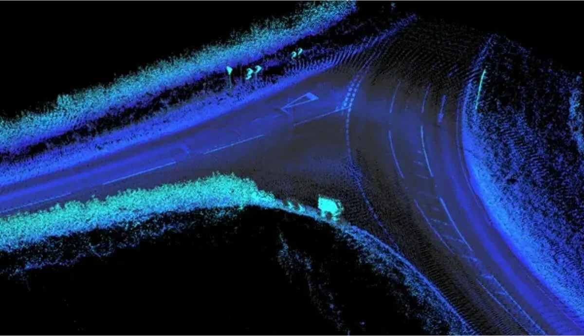
Painless georeferencing
Combine your detailed navigation data with your raw LiDAR data to produce a highly accurate and georeferenced LAS point cloud file. This process is quick, simple to execute, and delivers effective results for your mapping and analysis needs.
OXTS GEOREFERENCER
Works with any LiDAR


Need Help? Let’s Talk!
Have questions or need support? Our team is here to assist you. Reach out now!